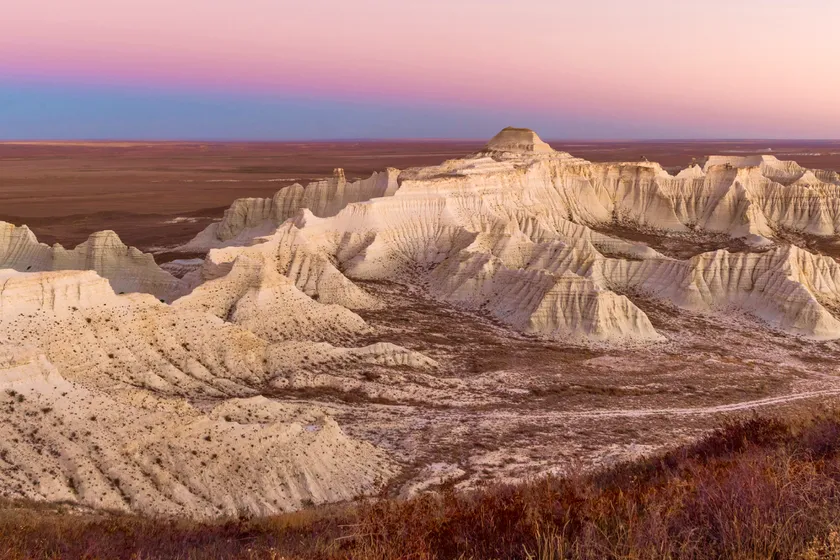
A country as big as ours cannot be summed up as merely steppes and mountains. The sheer expanse of Kazakhstan’s territory is truly mind-blowing, and its western segments may be its most unique part. There, multicolored chalk mountains and plateaus stand in stark contrast to the barren landscape, with lone structures adding to the feeling of stepping into an alien world.
QazMonitor made a short list of 3 travel points in the Aktobe region, home to enchanting nature and unearthed secrets of Kazakh history. NOTE: all of the destination points are far away from settlements and are intended for experienced tourists only.
Abat-Baytak
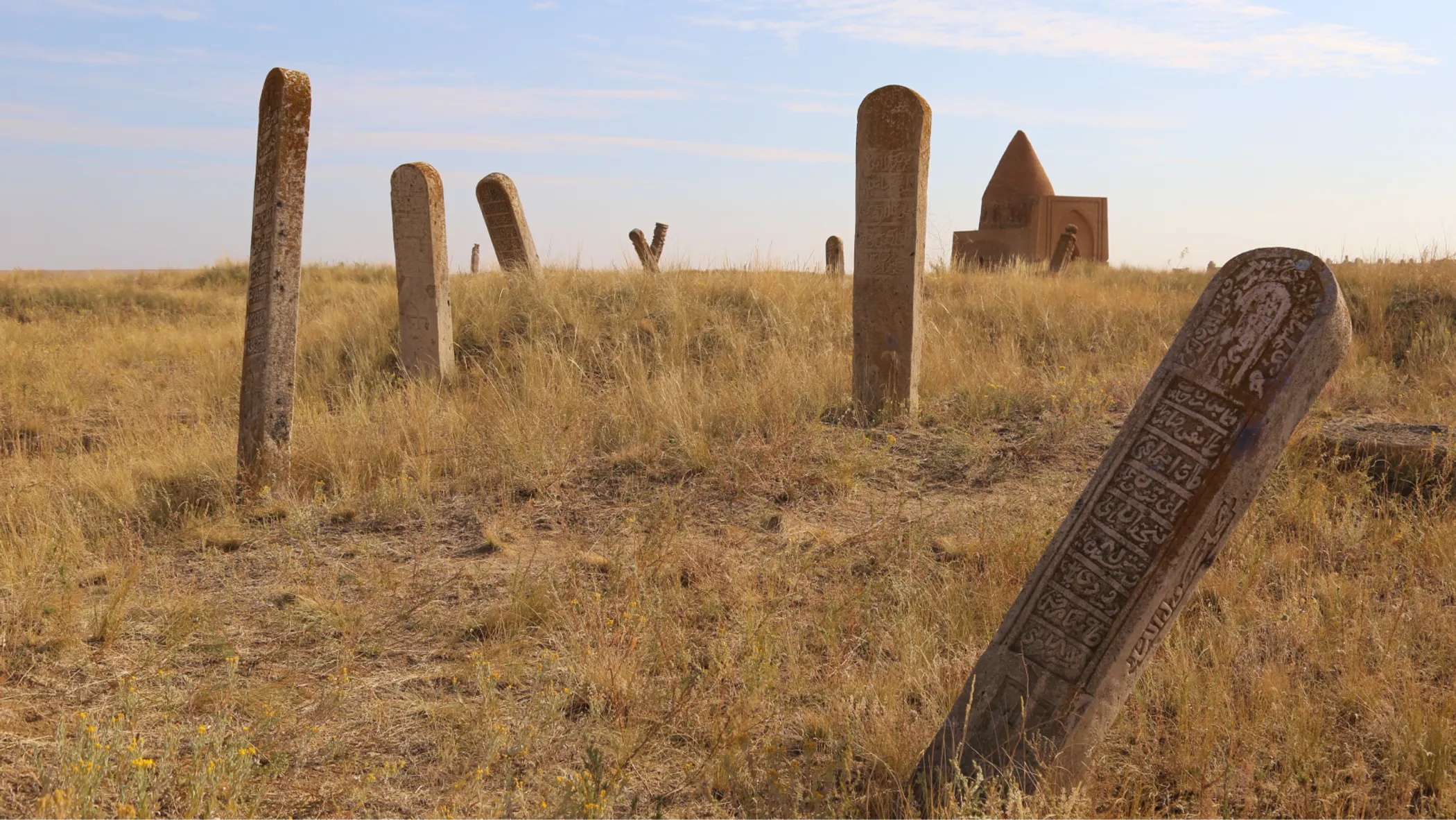
Surrounded by the stelae mourning the dead you will find two mausoleums. Here, people of the Golden Horde and Kazakh Khanate’s Minor Juz were laid to rest and commemorated with stone epitaphs engraved in Arabic script.
It’s unknown to whom the Abat-Baytak mausoleum was dedicated to, although legends state that it takes its name after a warrior who is buried there. According to the tale, Abat Batyr defeats a cruel khan and saves his native land from invasion, for which grateful locals build a mausoleum named after him. The other mausoleum is called Kyz-Aulie, or Blessed Maiden, whose ruins left little evidence on its origins.
How to get there:
From Aktobe, you need to take the E38 highway to the town of Taldysay and then travel south for about 10 kilometers. It is strongly advised to hire local guides for assistance.
Aktolagay
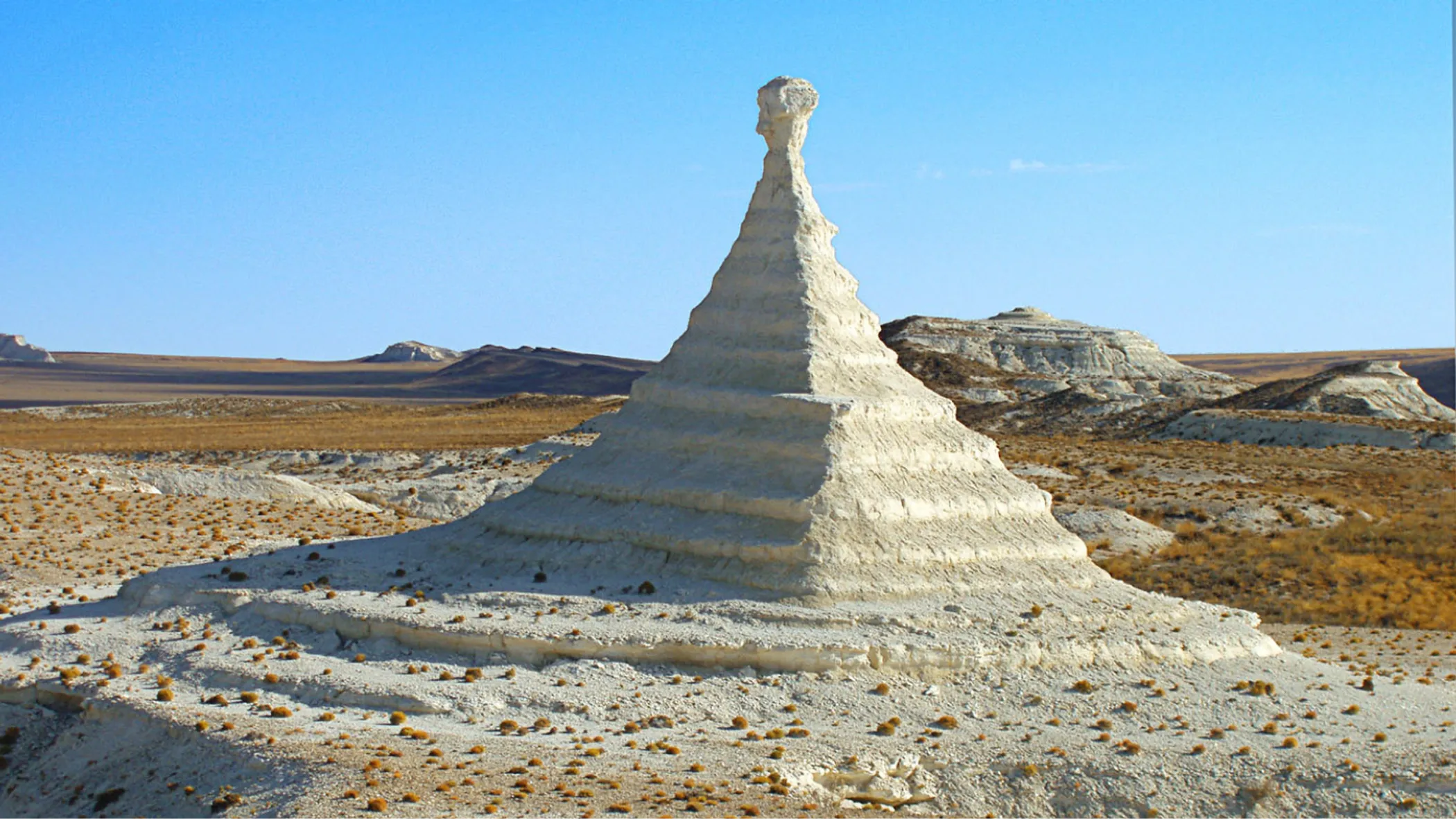
The multicolored chalk mountains of Aktolagay serve as a natural border between the Atyrau and Aktobe regions. The bizarrely shaped walls resemble chess pieces from afar, as if they were placed there by a giant hand. This earned the plateau another name – the chessboard.
Even though the place appears barren, it brims with life. Hardy plants grow in the deep shadows cast by the chalk walls, which serve as refuge from the sun for rare animals. One can even find fossilized remains of cephalopods and seashells in the ravines, left over from the times when the area was submerged under water.
How to get there:
From Atyrau, you’ll need to take the A27 highway and turn to R-110 that leads to the town of Kulsary. The 130-kilometer road from there to the plateau Aktolagay will take about 7-9 hours. It is strongly advised to hire local guides for assistance and stock up on water and gasoline. Local guide tours offer a two-day trip to Aktolagay for ₸20,000.
Khan Molasy
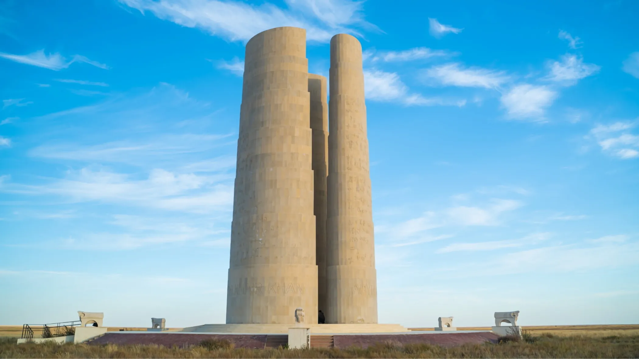
A vast 18th-century burial ground for the nobles of the Minor Juz, the Khan Molasy necropolis serves as a grave for Abul Khair Khan, one of the most distinguished rulers in the history of the Kazakh people.
The most recent additions to the cemetery are three giant stelae engraved with sacred symbols from three Juzes. Resembling a set from a sci-fi movie, the stelae impress an imposing structure from all angles.
How to get there:
From Aktobe, you’ll need to take the M22 and A-22 highways for a 700 kilometers trip to the village of Tolybay. From there is another 80 kilometers southeast to the site. It is strongly advised to hire local guides for assistance.
